File Info
| Exam | ArcGIS Desktop Entry 10.5 |
| Number | EADE105 |
| File Name | Esri.EADE105.SelfTestEngine.2020-03-18.47q.vcex |
| Size | 318 KB |
| Posted | Mar 18, 2020 |
| Download | Esri.EADE105.SelfTestEngine.2020-03-18.47q.vcex |
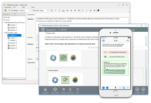
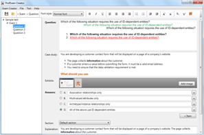
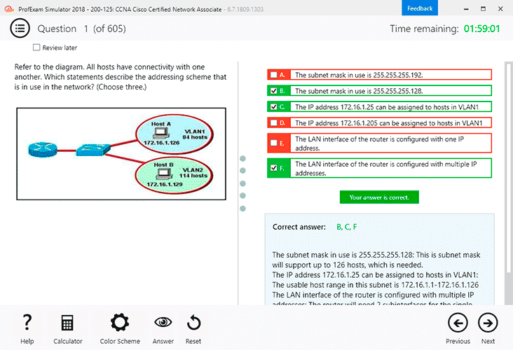
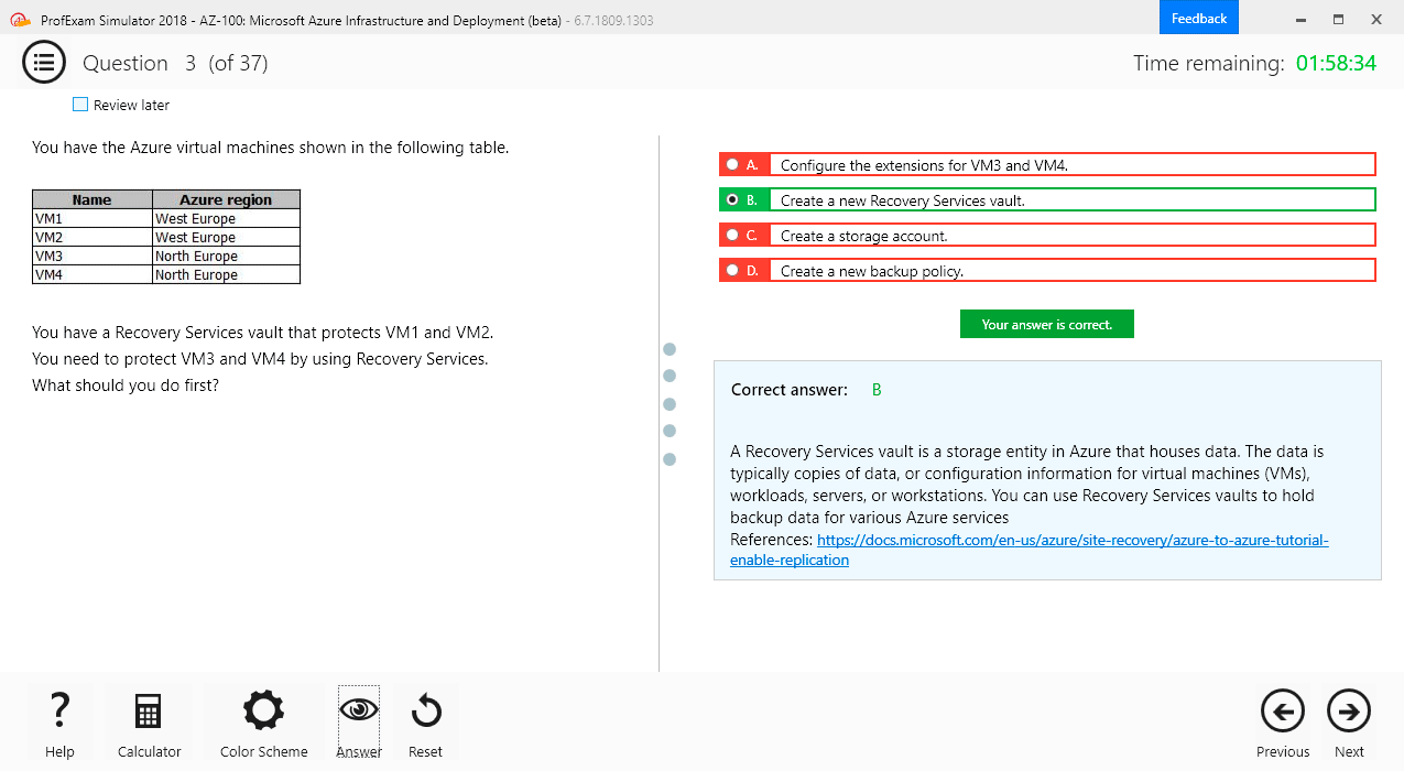
How to open VCEX & EXAM Files?
Files with VCEX & EXAM extensions can be opened by ProfExam Simulator.
Coupon: MASTEREXAM
With discount: 20%
Demo Questions
Question 1
A GIS technician needs to export multiple maps of individual county parcels.
Which action should the technician take to achieve this in ArcGIS Pro?
- Enable Map Series pages
- Export a map at the county scale
- Export a layout to a .pdf format
- Export a layout with compressed vector graphics
Correct answer: A
Question 2
An ArcGIS Pro user makes a selection on a feature layer using the following expression:
Suburb is Equal to Abbey Caves
The user opens the attribute table and notices the expression has been entered incorrectly. The expression should have been:
Suburb does Not Equal Abbey Caves
How should the user efficiently apply the correct selection expression?
- Attribute Table > Calculate
- Geoprocessing Pane > Select By Attributes > Build the correct query > Run
- Attribute Table > Switch
- Geoprocessing Pane > Select By Attributes > Clear the current selection > Build the correct query > Run
Correct answer: B
Question 3
An ArcMap user must determine the coordinate system of a dataset.
Where is this information located?
- Data Frame Properties > Source tab
- Feature Class Properties > XY Coordinate System tab
- Layer Properties > XY Coordinate System tab
- Feature Class Properties > Source tab
Correct answer: A
Explanation:
Reference: https://support.esri.com/en/technical-article/000007880 Reference: https://support.esri.com/en/technical-article/000007880
Question 4
A researcher is opening a new, blank ArcGIS Pro Project. Upon creating the ArcGIS Pro Project, a map is NOT visible.
What should the researcher do to begin the project?
- Insert a new basemap from the Insert tab
- Make a folder connection to the file geodatabase
- Insert a new map from the Insert tab
- Insert a new layout from the Insert tab
Correct answer: B
Question 5
A GIS user creates a folder connection in ArcGIS Pro. Most of the user's work is typically done with the same collection of data. The user finishes that project and creates a new ArcGIS Pro project to begin working in a new geographic area. The folder connection has disappeared.
What should the user do to persist that folder connection in multiple projects?
- Make the folder connection with relative project paths
- Always make file geodatabase connections
- Set ArcGIS Pro to Work Offline to preserve the folder
- Create a project template that contains the folder connection
Correct answer: A
Question 6
An analyst has project data in the form of shapefiles
What should the analyst do to import the data to a file geodatabase?
- Run The Multipart To Singlepart geoprocessing tool
- Upgrade the X,Y precision of the spatial reference during import
- Create a spatial index on the shapefile prior to importing the data
- Run The Feature Class To Feature Class geoprocessing tool
Correct answer: D
Explanation:
Reference: http://downloads.esri.com/support/documentation/ao_/LoadDataGeodatabase.pdf Reference: http://downloads.esri.com/support/documentation/ao_/LoadDataGeodatabase.pdf
Question 7
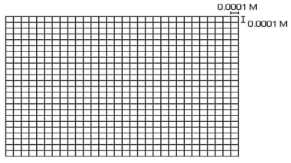
Refer to the exhibit.
The exhibit below provides a conceptual view of a coordinate grid onto which all coordinate values snap to the grid mesh. The grid covers the extent of each dataset. An ArcGIS user is creating a new feature class, and needs to increase the numeric precision used to store the coordinate values.
When modified, which of the following will increase the numeric precision used to store the coordinate values?
- X,Y Tolerance
- Z value
- M Value
- X,Y Resolution
Correct answer: D
Explanation:
Reference: http://webhelp.esri.com/arcgisdesktop/9.2/index.cfm?TopicName=Feature_class_basics Reference: http://webhelp.esri.com/arcgisdesktop/9.2/index.cfm?TopicName=Feature_class_basics
Question 8
A biologist must go into the field and record locations of every site that currently has standing water with mosquito larvae.
Which application should the biologist use?
- ArcGIS Online
- ArcGIS Pro
- Navigator for ArcGIS
- Collector for ArcGIS
Correct answer: D
Explanation:
Reference: https://doc.arcgis.com/en/collector-classic/android/create-maps/track-where-collectors-went.htm Reference: https://doc.arcgis.com/en/collector-classic/android/create-maps/track-where-collectors-went.htm
Question 9
A GIS user has an address and must display the location of the address as a point on the map. The user has a general idea of where the address is located but needs a precise result
How should the user efficiently perform this task in ArcMap?
- Type the full address in the search field of the Geocoding Toolbar, and press Enter
- Zoom in to the city, pan to the street. and use the Address Inspector on the Geocoding Toolbar
- Open the Go To XY tool and search the full address
- Open the Geocode Addresses tool from the Geocoding Toolbar and search the full address
Correct answer: C
Question 10
A city planner is working with a map that represents areas of the city that are being evaluated for new construction and moving or eliminating certain streets. The planner is using the Create Feature Class geoprocessing tool to create a feature class that represents all streets as they would exist after the improvement project is completed.
Which Geometry Type should the planner select for the feature class to identify the overall changes in length to the road network?
- Multipoint
- Polyline
- Polygon
- Multipatch
Correct answer: B
Explanation:
Reference: http://desktop.arcgis.com/en/arcmap/10.3/manage-data/geodatabases/feature-class-basics.htm Reference: http://desktop.arcgis.com/en/arcmap/10.3/manage-data/geodatabases/feature-class-basics.htm